MOUNT MCNAB
Distance 8.6 km loop, height gain 350 m, moderate
(.*?)#i', '\1', $metateaser), //$pageContents); // echo $pageContents; ?>
Start: Sandy McNabb Campground area at the lower "skating rink" parking.
Difficulty: Easy, with a few steep sections en route to the main summit. Return distance to the east summit is 5.5 km. See map

Note: Here is a track log of the route starting from the Sheep River 
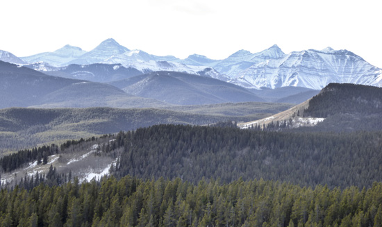 View of the Front Ranges from the east summit.
Please refer to the trail description in the guidebook, especially for unofficial, off-trail hikes.
This trail is not featured in any of our guidebooks.
(.*?)#i', '\1', $metateaser), //$pageContents); // echo $pageContents; ?>
User log entry triggered