SOUTH EXSHAW TRAIL
Distance 4.3 km return, height gain 30 m, easy
(.*?)#i', '\1', $metateaser), //$pageContents); // echo $pageContents; ?>
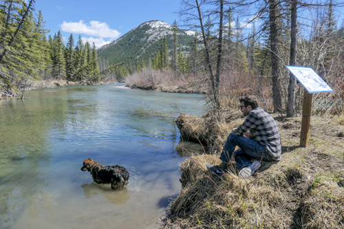
Start: Hwy. 1A at Exshaw. Immediately west of the bridge over Exshaw Creek, turn left (south) on Mount Laurier Road, then left onto Diamond Drive. Cross the bridge over Exshaw Creek and turn right onto the stony flat. The trail starts at an interpretive sign about half-way down on the left.
Difficulty: Easy hiking.
Note: See sketch map for the various hiking options.

Please refer to the trail description in the guidebook, especially for unofficial, off-trail hikes.
This trail is not featured in any of our guidebooks.
(.*?)#i', '\1', $metateaser), //$pageContents); // echo $pageContents; ?>
User log entry triggered