
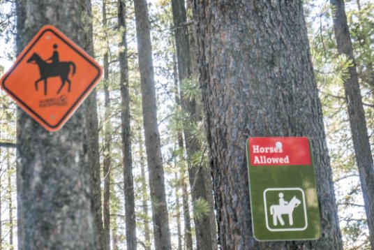
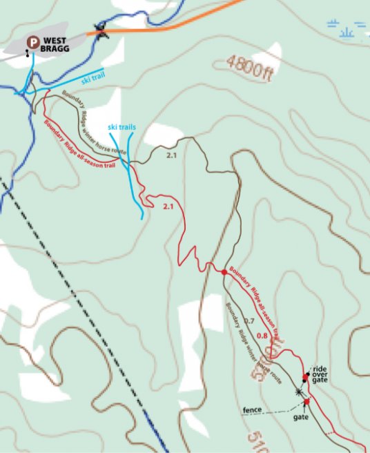
Fresh off the ground is a new winter route built primarily to keep equestrians and fat tire bikers apart, but also touted for snowshoers and winter walkers. It runs between West Bragg parking lot over the top near enough of Boundary Ridge and down to Iron Creek valley where it changes its name to Iron Horse and continues on to RR54, a distance of 6.3 km.
Coming into the meadow between BRT and Sundog ski trail.
We recently walked the northern half to Boundary Ridge summit and returned via Boundary Ridge trail (BRT), a most enjoyable 6 km loop. Most non equestrians will be doing the same. The other half of the trail we have not looked at yet and see it as a separate winter route to the top of Boundary Ridge from RR54.
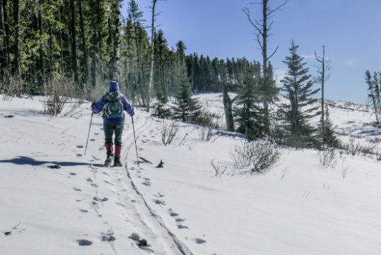
A flatter stretch along the ridge between East Crystal Line ski trail and Boundary Ridge Trail.
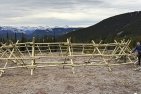
Things to know. The way is well marked throughout but has no tread, something that is likely to change in time. By this coming weekend there will be a gap in the boundary fence which cuts the whole route in two in preparation for a swing gate to be erected courtesy of the Alberta Equestrian Federation.
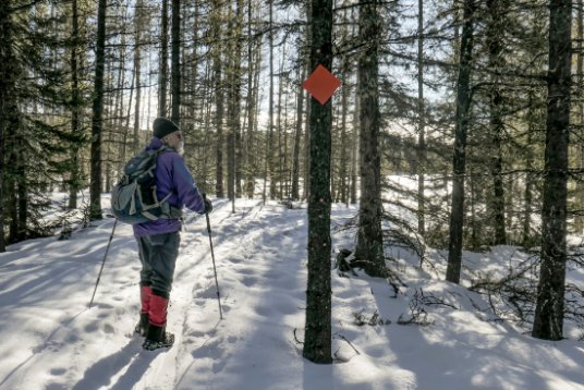
Signs at the upper crossing of BRT.
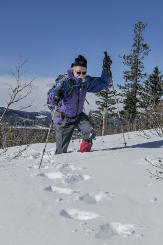
Starting along the west-facing meadows (cutblocks).
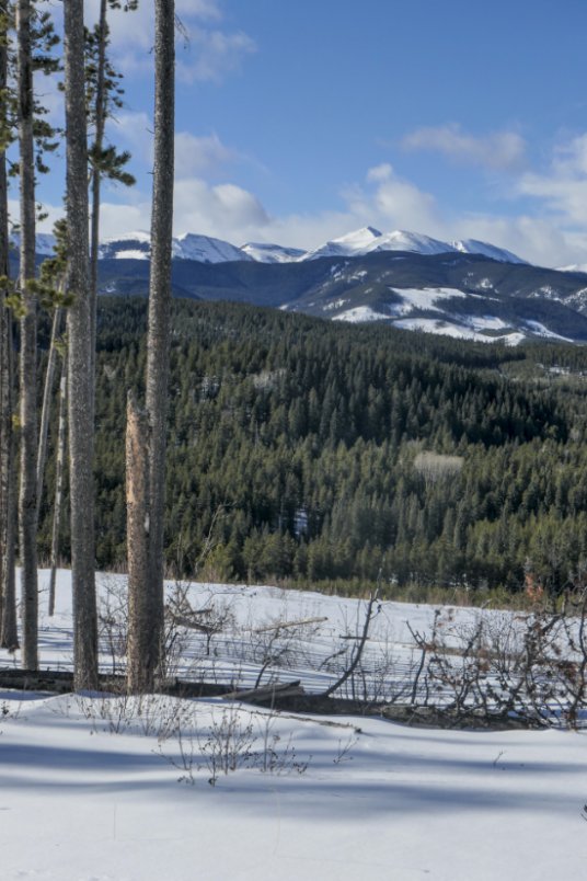
Next winter will be the best time to visit when the snow can be packed down early. But I expect that like us many people will be curious and will, even in this year’s deep snows, enjoy the route’s lovely line along a ridge and through west-facing cutblocks below the summit where there are continuous views to the west — something that is inexplicably missing from Boundary Ridge Trail (BRT).
View from the meadows of Moose Mountain.
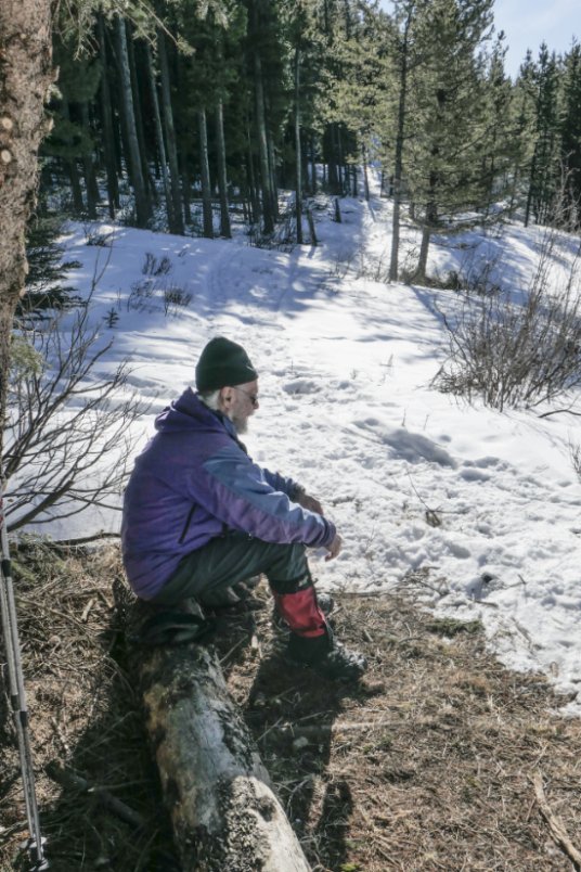
Outside of the trail the going is hard in deep snow. This must be the best snow year ever at West Bragg.
Start from parking lot B at West Bragg, Cross the south bridge over Bragg Creek, then almost immediately go straight on a narrow passageway through the trees. Cross East Crystal Line just left of the bridge over a side creek. The route follows alongside the creek, then climbs up left, crossing BRT into the well meadow and on up to cross both Sundog and East Crystal Line ski trails.
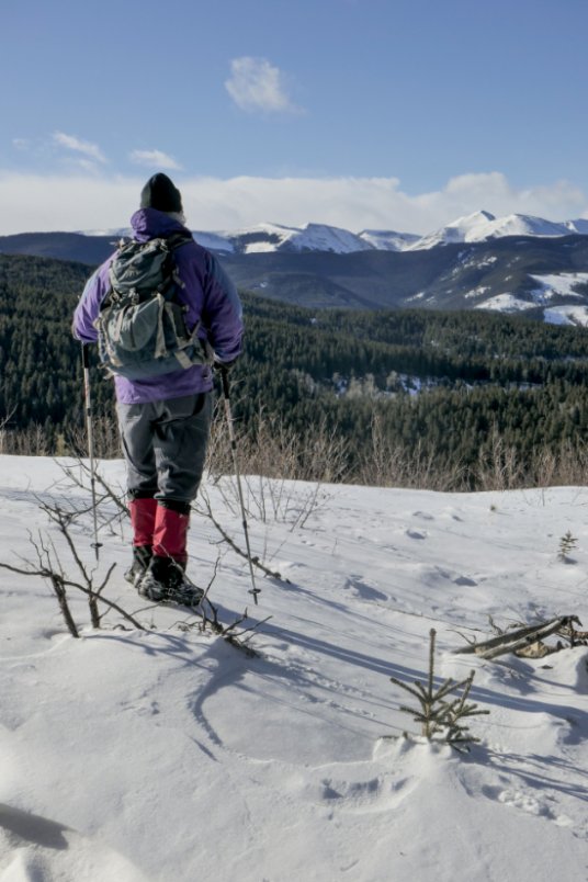
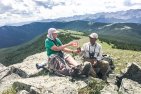
Summit view.
From here the route continues to the left of BRT and winds up along the ridge far above it, eventually crossing it high above Strange Brew junction. Then it takes to west-facing cutblocks where you get the views. The slope up left just before the fence leads to the high point of Boundary Ridge. After the fence the route traverses more meadow, reaching the tree edge close to BRT where you can transfer onto that trail for the return leg.

Comments on this entry are closed.
Since we were there, the route across the west facing cutblock has been moved higher up and now takes in the summit. Consequently, the gap in the fence has been delayed. The gap/gate will now be positioned at the edge of the trees where there is less snow. Right now, you can squeeze between strands of barbed wire. All this will make it easier for anyone doing a loop to not only visit the summit but to get onto BRT which lies only a few metres away to your left after going though the gate.