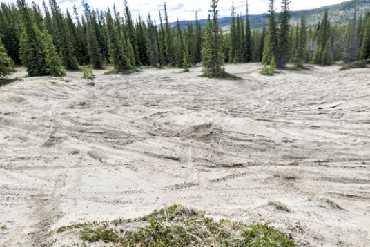
The extensive west-facing dunes
The sand dunes are a great place to loll around in during this fine weather and what’s more, getting there no longer involves circumventing the cadet camp, wading the Waiparous or slogging along the waterlogged tote road.
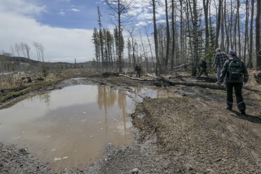
Right at the start of the tote road is a big puddle.
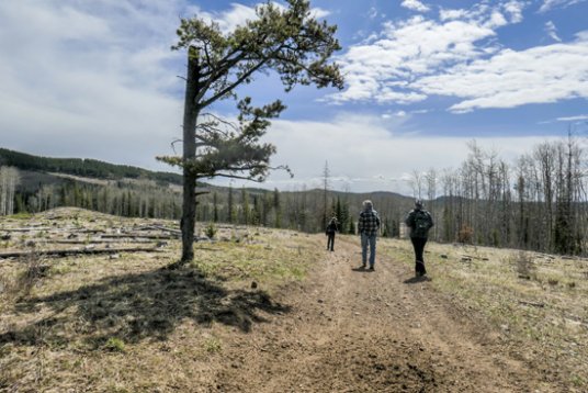
Luckily the rest of the tote road is dry to where you turn off it.
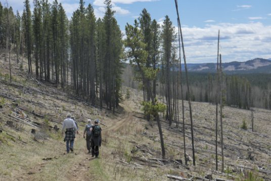
While the GWAS was successful in keeping a logging road out of the dunes, they were less succssful in keeping the ATVs on their designated trails. A camera set up to count numbers was repeatedly vandalized and eventually stolen. Shamefully, nothing ever came of it and the dunes are still riddled with ATV tracks. You don’t have to be a naturalist employed by the government to know this is a unique area worthy of protection from logging and motorized vehicles. And this should include nearby Horse Lake, its meadows and ridges. which are immortalized in Wild Horses, Wild Wolves by Maureen Enns. No doubt you’ll see evidence of the wildies on Sand Ridge.
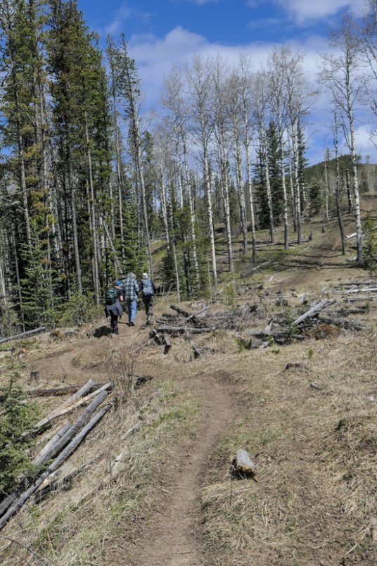
The trail between the tote road and the cutline.
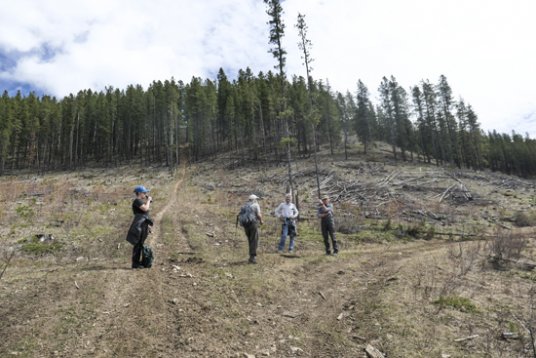
On the cutline. Sand Ridge ahead.
To the start: Drive Hwy. 40 for 9.1 km north of the forest boundary. Just after passing Waiparous campgrounds and Waiparous Creek bridge, turn right on a road signed Waiparous Creek staging area and Whispering Pines Bible Camp. Drive this road for 2.1 km past the staging are (biffy available) and up a hill to a sharp left-hand bend. Park on the right side where there is room for about 5 vehicles. The track ahead is the Eau Claire tote road you start out on.
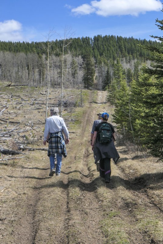
At the junction with the cutline access road where you turn right.
On the cutline access road that shortly turns uphill onto Sand Ridge.
Walk the tote road below a cutblock, gradually descending and crossing the bridge over Cow Lake Creek. At the top of the hill leave the tote road and turn left on a trail that climbs above the bank of the side creek to join a cutline in a big cutblock. Turn right and follow the cutline up a few short hills to the steep foot of Sand Ridge as the GWAS call it. Apparently the ultra steep cutline ahead is used by dirt bike riders in an annual contest to see who can get the highest without going head over heels so to speak (The equivalent to high marking by snowmobilers.) We saner walkers turn right on a cutline access road that reaches the ridge crest much farther to the right at a 4-way. Turn right and follow the slightly undulating trail down the ridge to a junction low down on the flat, Stay ahead — trail to left is your return route — and in a few minutes emerge on the west-facing sand field. By bearing left and making a circle you visit the bowls and chutes of south east face, then the east facing dunes where you pick up a trail returning you to the ridge.
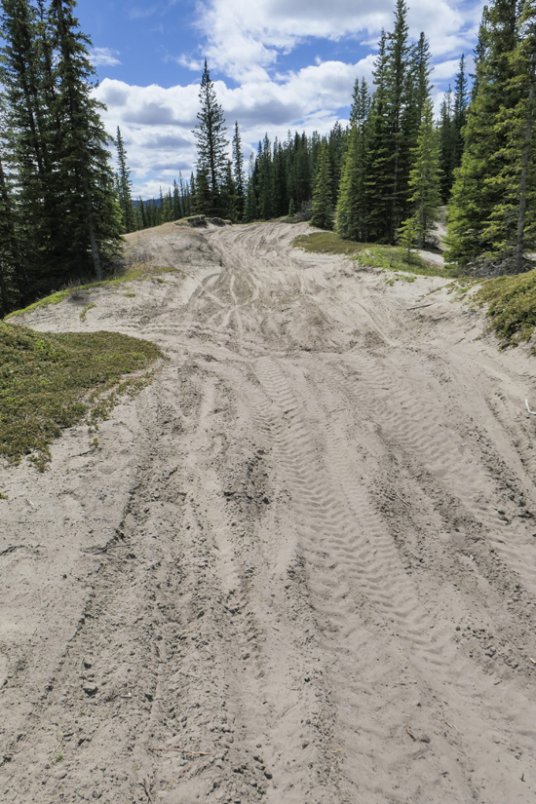
This stretch of sand has turned into an ATV road!
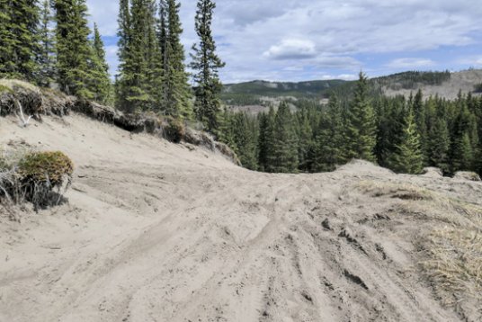
A bowl above steep chutes.
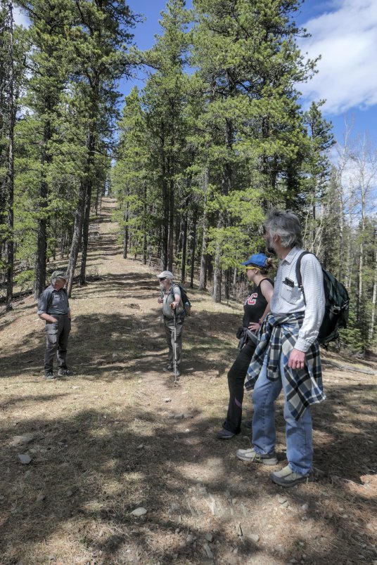
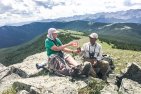
Practising social distancing on Sand Ridge. Here we are back at the 4-way. The trail in the background eventually leads to the summit.
Return the same way to the 4-way, or if you want a lot more exercise climb up the ridge to its summit. From the top a northwest facing cutblock allows a fine view of the Ghost mountains. The ATV trail heads down the steeper north side in triplicate, not through the cutblock unfortunately, but through a belt of trees, and low down heads right across meadow to join the designated trails near Cow Lake.
Distance to sand dunes 8.9 km return.
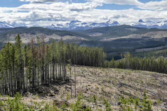
Summit viewpoint looking towards the mountains of the Ghost. The big peak at centre right is Black Rock Mountain.
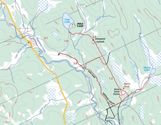
The map also shows an optional return route from the summit of Sand Ridge along a logging road, then reclaimed well road to the bible camp road. It also shows the route to Horse Lake and another optional return route via the tote road.